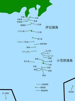
Map of the Izu Islands and the Ogasawara Islands in the Kanto region

伊豆諸島 地図

Map of Izu Islands with island name 2
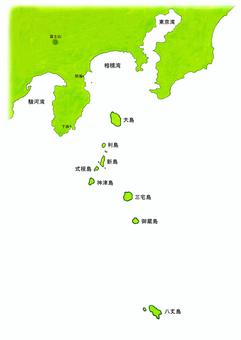
伊豆諸島 地図 島名入り

Kanto region (including remote islands)
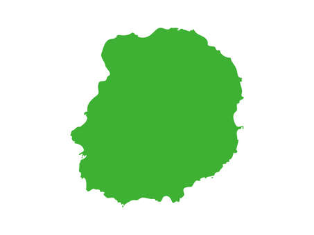
Silhouette of Miyakejima

Miyakejima (Tokyo)
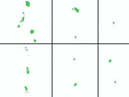
A slightly loose map of the Tokyo islands without borders

Miyakejima Tokyo remote island

Slightly loose Tokyo island map
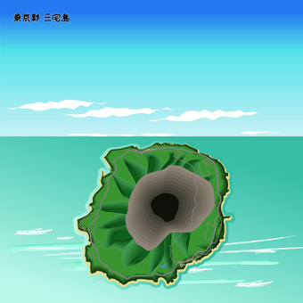
Miyakejima Tokyo Island Over the sea

Miyakejima map

A slightly loose map of Miyakejima Tokyo

Miyakejima map

Stylish map of Tokyo with administrative divisions
15 ile ilgili ücretsiz vektör klipartları.
vektör klipartlarına mı ihtiyacınız var? kategorisi stoklarından en iyi görüntüleri bulun
Tüm vektör kliplerinı ticari projelerde de ücretsiz kullanabilirsın. Telif hakkı yoktur.

 © 2011 - 2025 ACworks Co.,Ltd. All rights reserved.


